 Ruta 34. Fuente del Agua Sala de Lerín
Iniciamos la ruta circular desde las piscinas de Lerín. Comenzamos con un pequeño ascenso por la cresta de la Sierra del Monte, rodeados en todo momento por ...
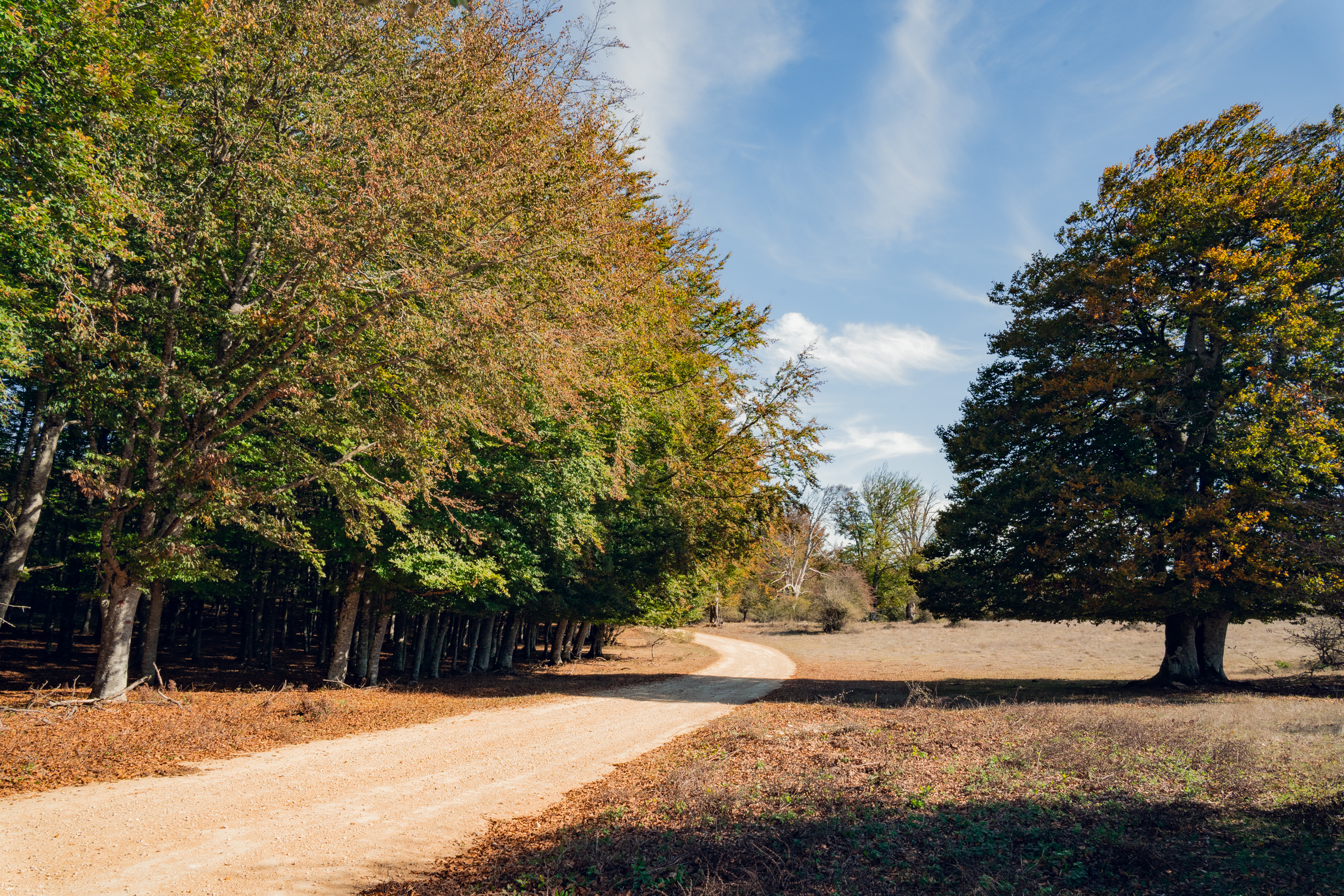
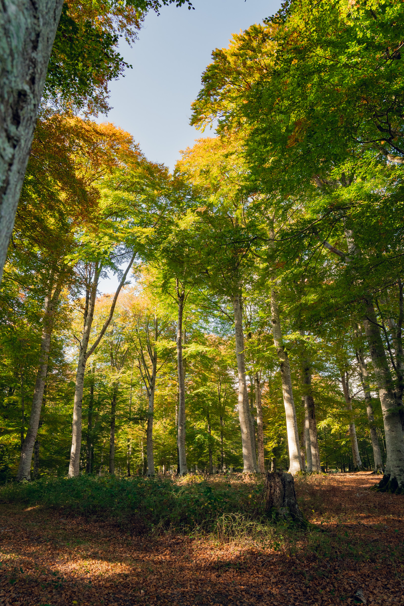
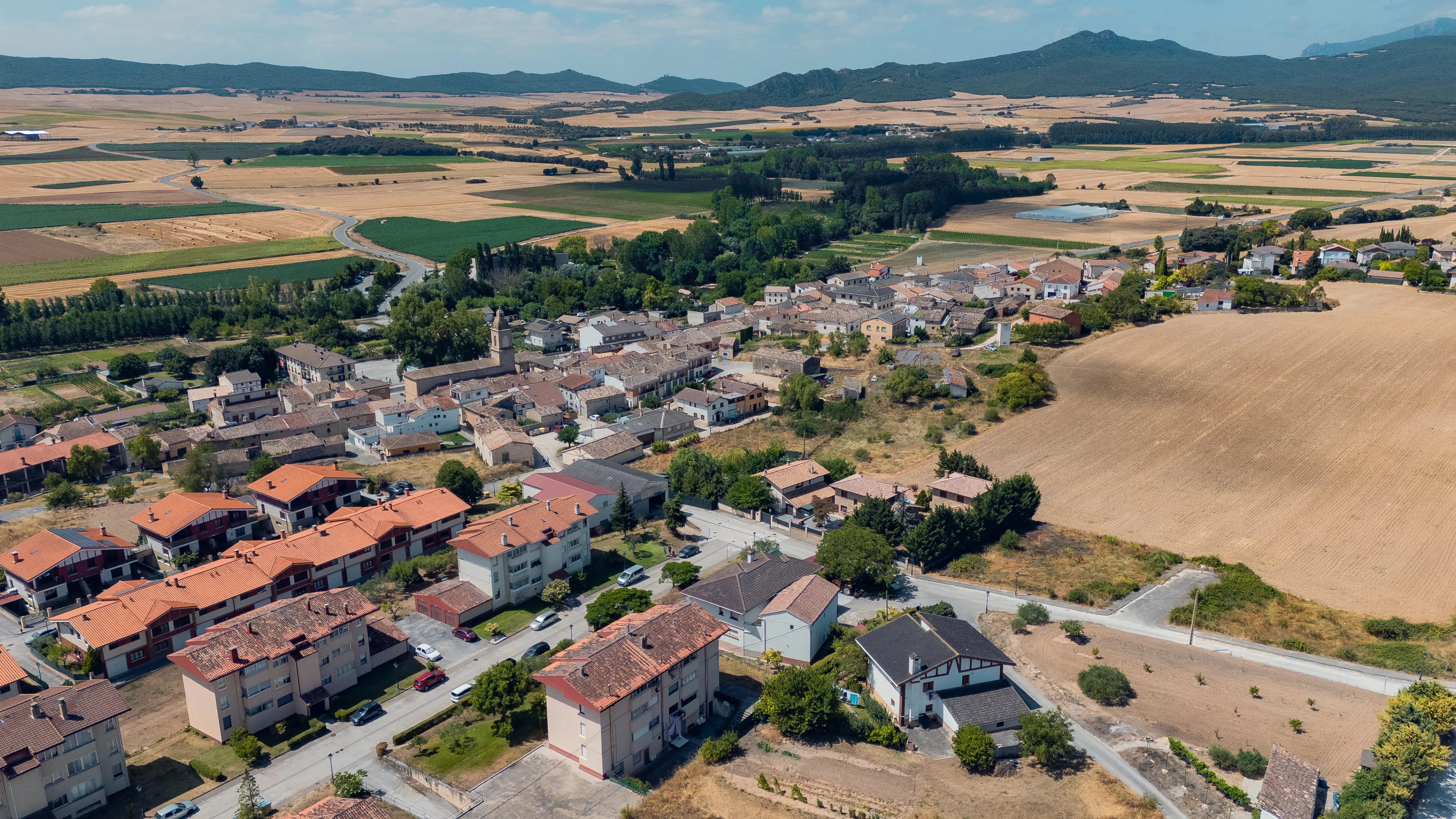
The circular cycling route starts from the Zudaire car park, in Améscoa Baja, although it can also be started from other villages. We head south to reach Barindano. We then continue westwards, below the northern slope of the Sierra de Lokiz, as far as San Martín. Next, we travel between cultivated fields towards Ecala and Eulate, entering Améscoa Alta. There, we move onto the southern slope of Urbasa and the Monte de Limitaciones de Las Améscoas to head towards Aranarache. We go to the upper part of the village to climb the concrete track, reaching a rocky narrowing at the top. After passing through the metal gate, we head left along the track between beech woods, entering the Monte de Limitaciones.
Later, at the junction with the paved track, there is a fork with the possibility of turning left to complete a 7 km circular route through beech woods and approach the monumental tree known as the Haya de Limitaciones.
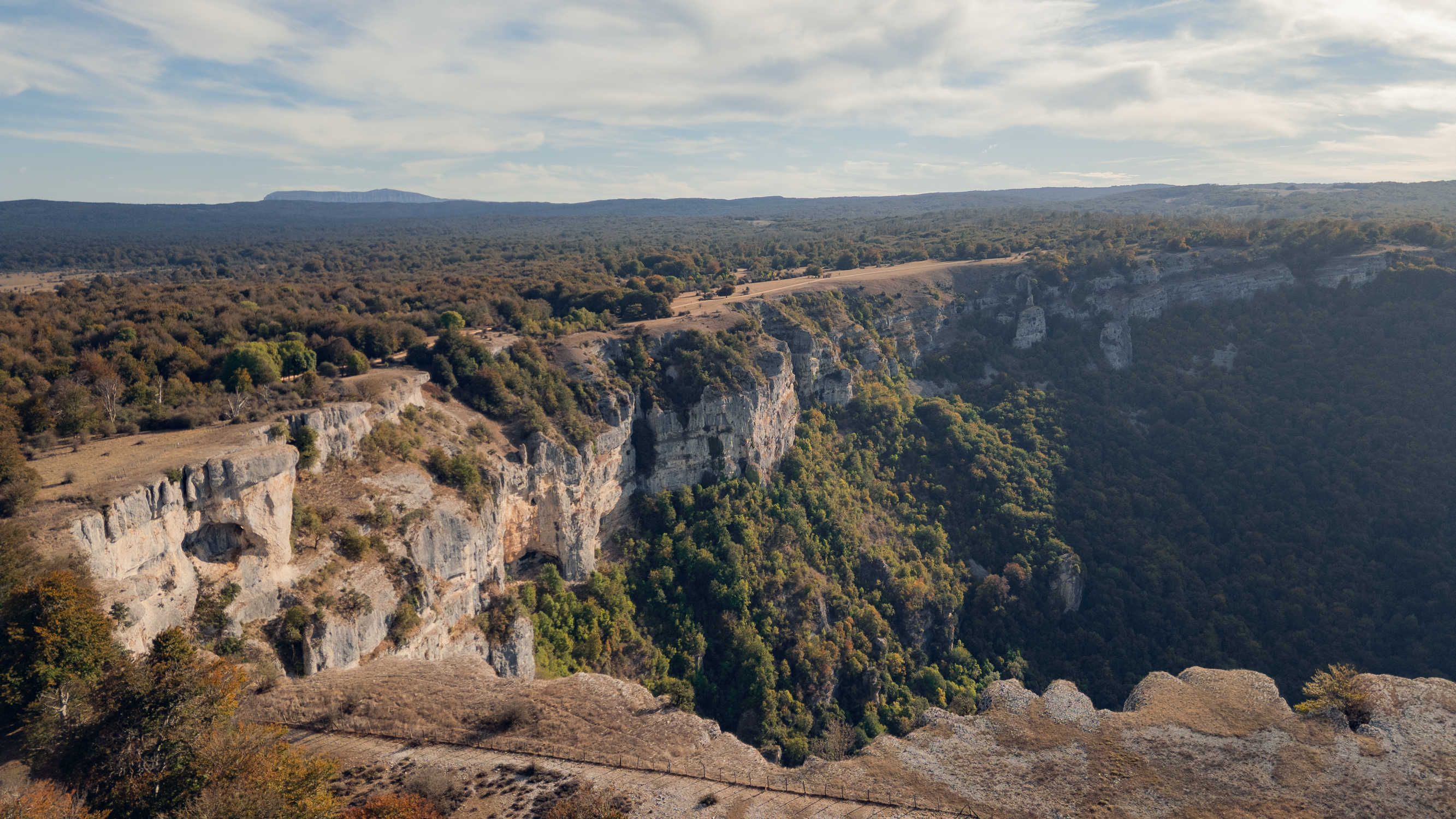
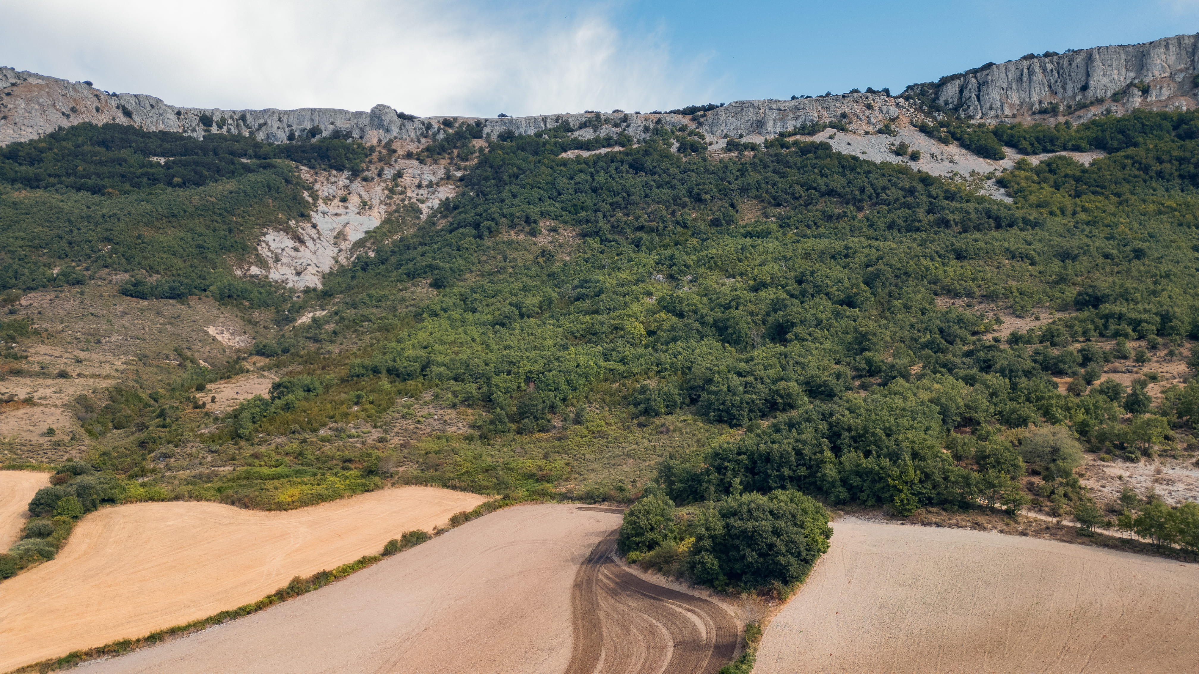
Taking the right-hand branch at the fork, however, we continue through wooded areas and open grasslands to the Ubaba Viewpoint. We skirt this rocky amphitheatre, home to the source of the Urederra, and continue along the track until we reach the crossroads that allows us to descend to Artaza. From here, we head towards Gollano and Baquedano, and, following the course of the River Urederra, return to Zudaire.
DATOS DE LA RUTA
 Ruta 34. Fuente del Agua Sala de Lerín
Iniciamos la ruta circular desde las piscinas de Lerín. Comenzamos con un pequeño ascenso por la cresta de la Sierra del Monte, rodeados en todo momento por ...
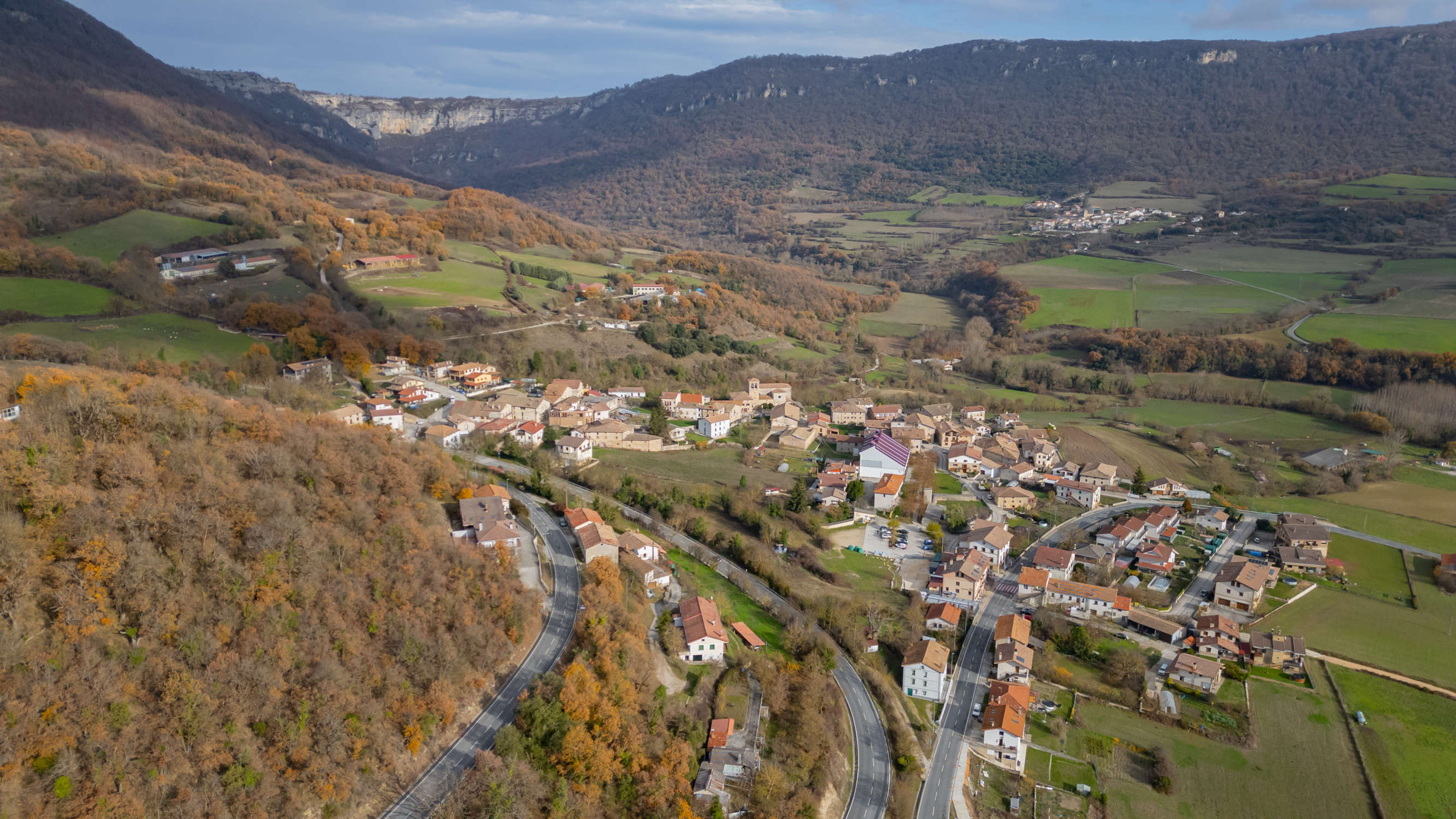
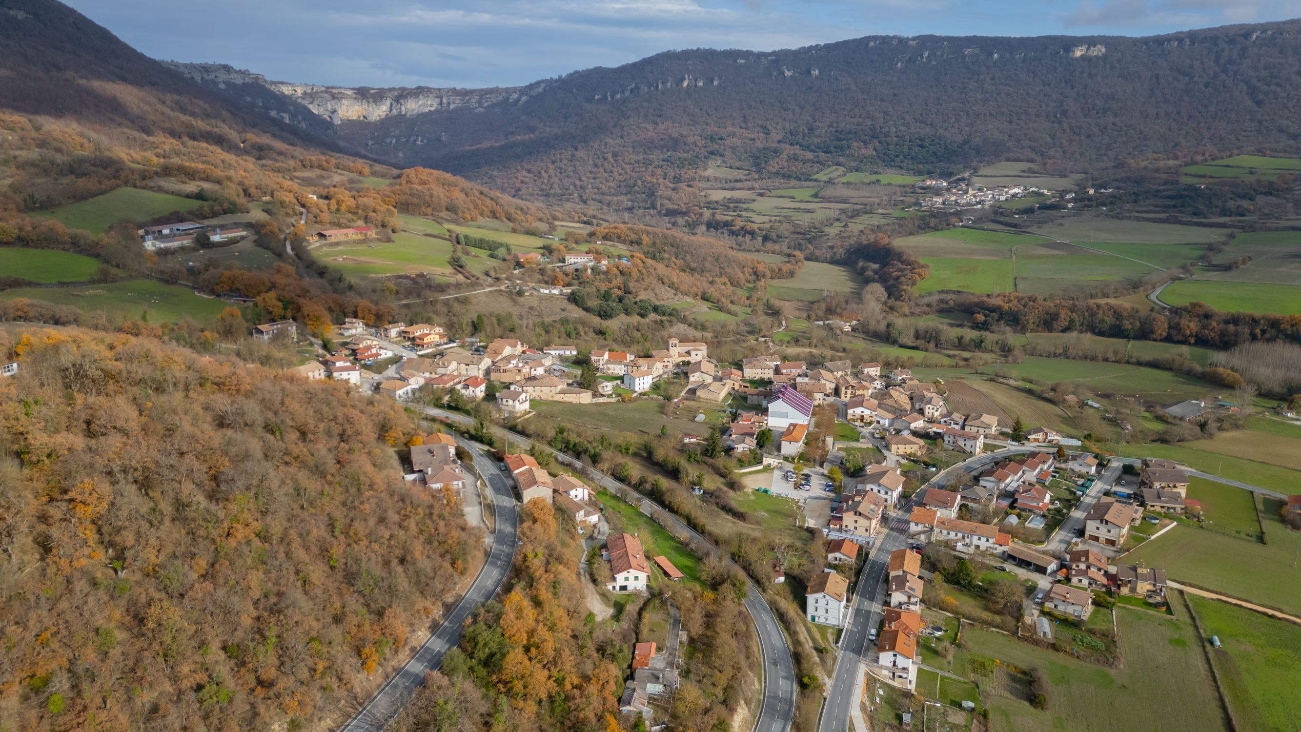
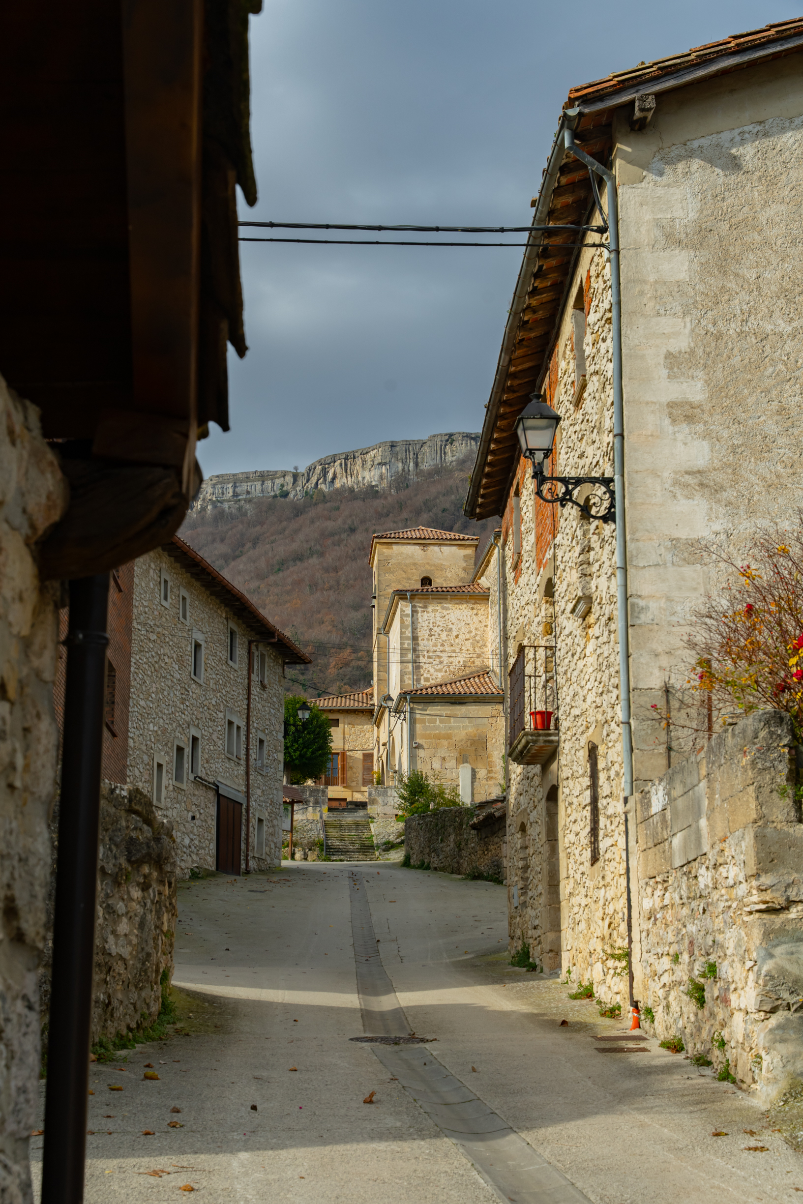
 Ruta 7. Santa Coloma
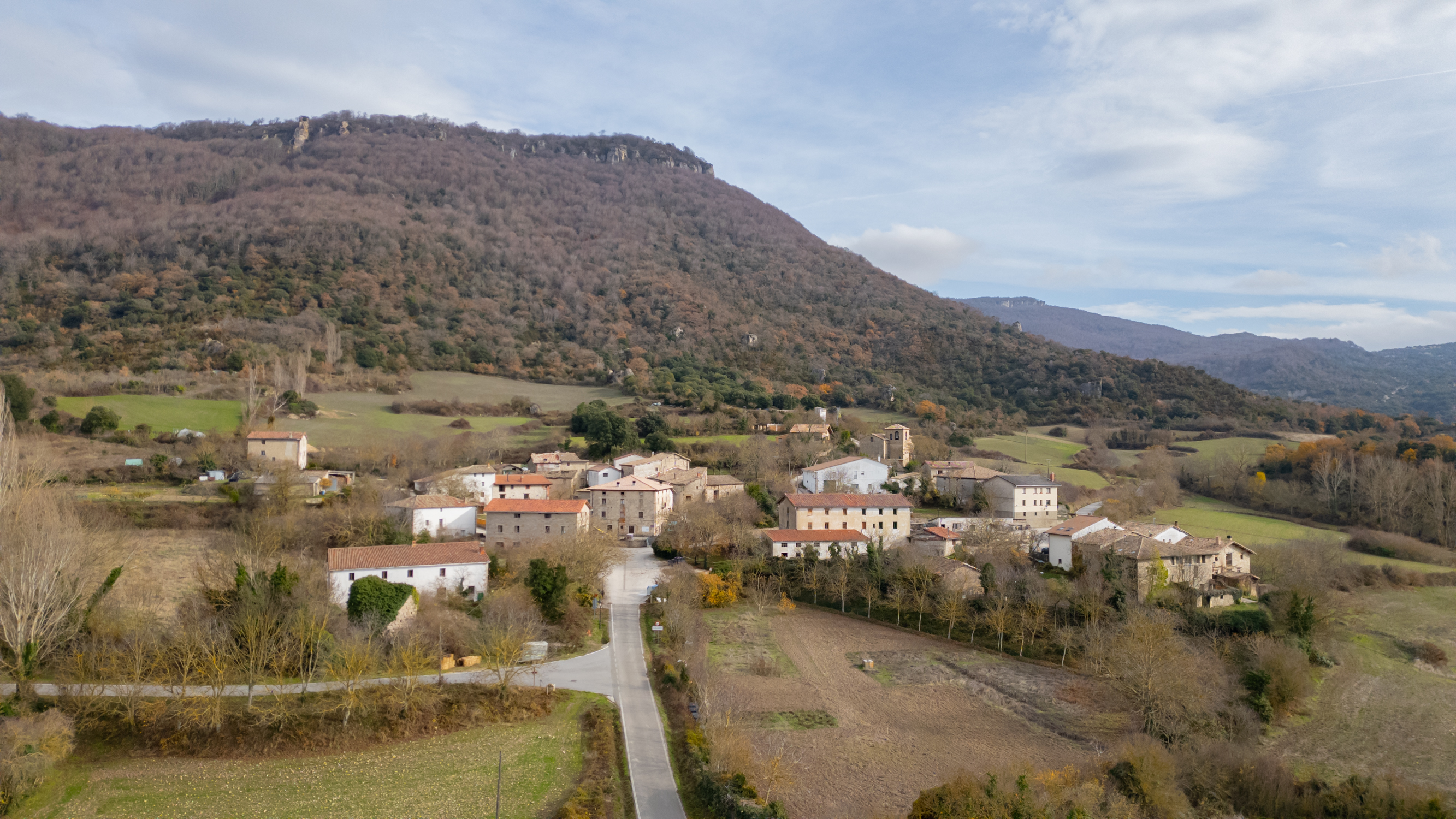
Comenzamos la ruta circular desde el consultorio local de Mendaza y nos encaminamos hacia su parte alta. Tras pasar la iglesia, tomamos el camino que continú...
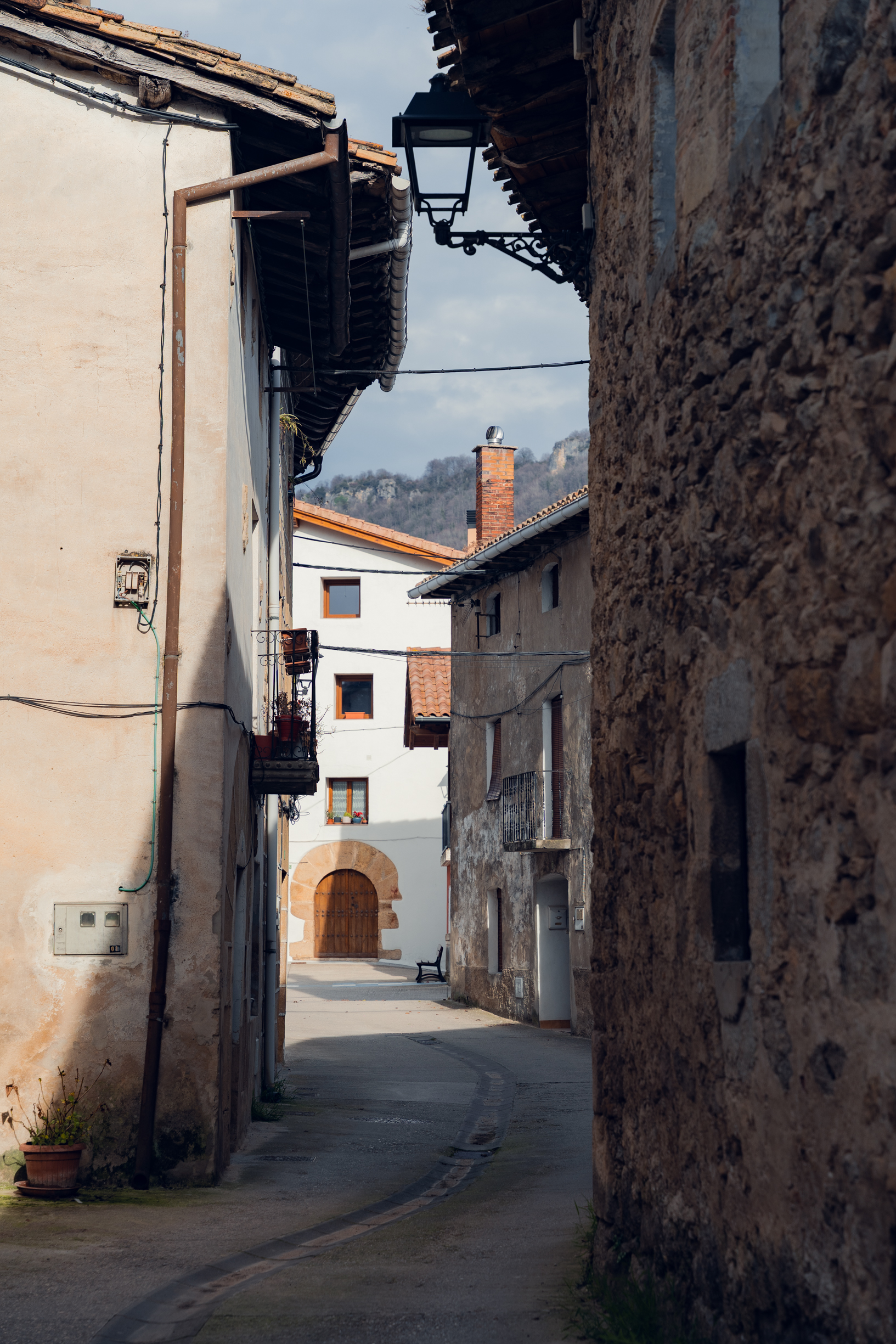
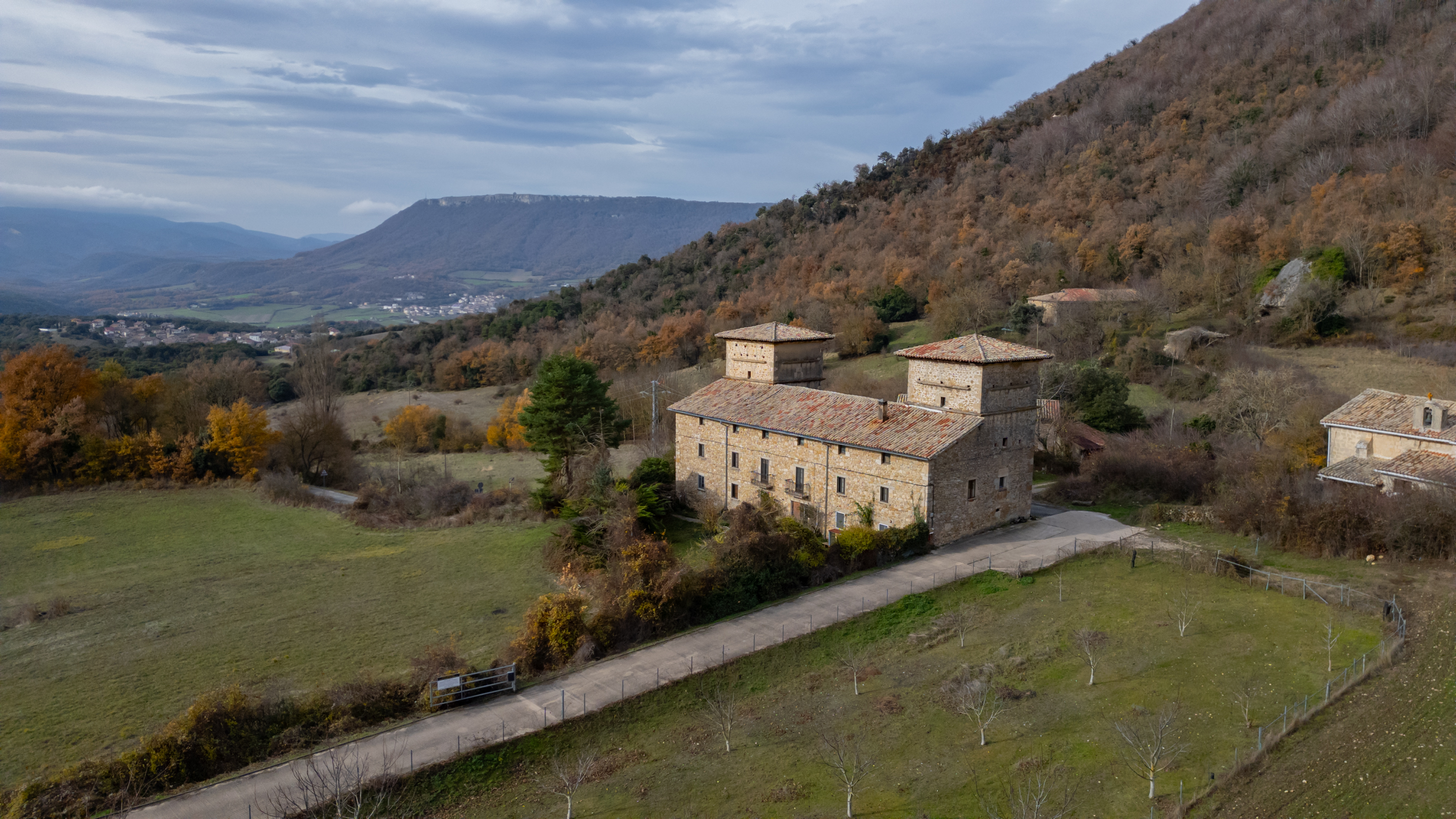
 Ruta 33 Los Oficios de Murieta
Iniciamos la ruta circular desde el Ayuntamiento de Murieta, antigua estación de tren del Ferrocarril Vasco Navarro. Esta ruta trata de acercarnos a la memor...
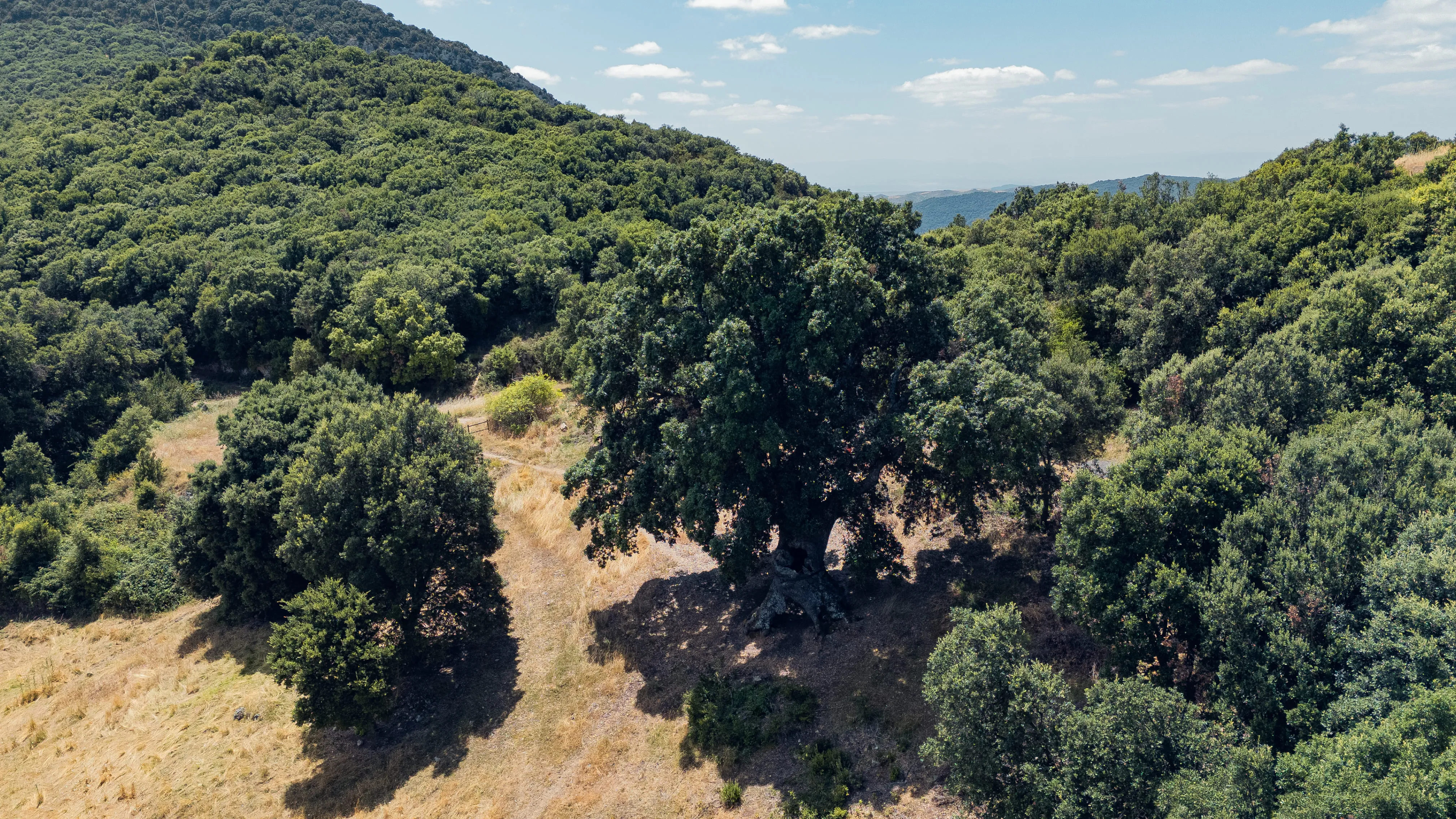
 Ruta 25. Valle Colgado de Arnaba
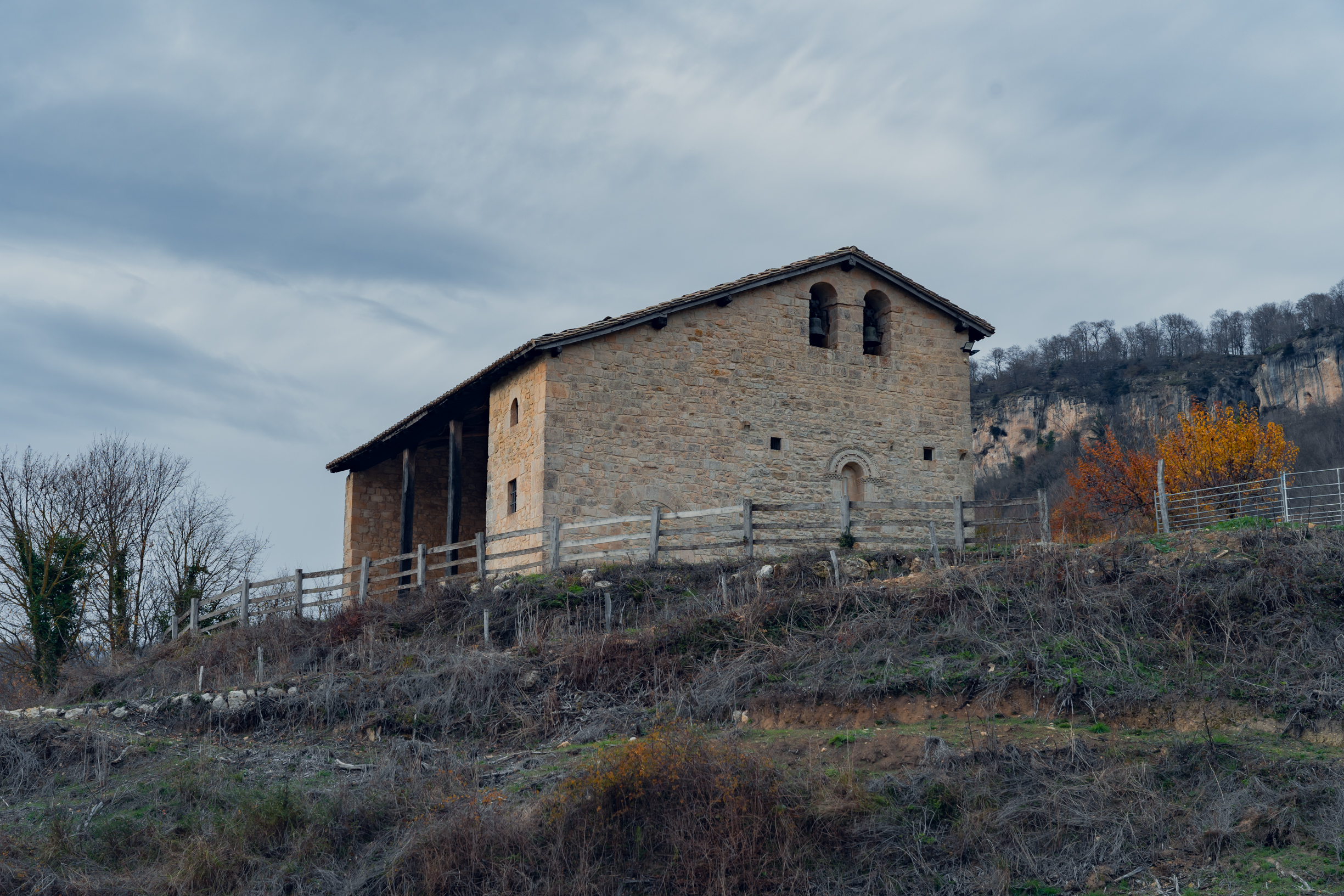
El recorrido circular parte desde el lavadero de Gastiáin. Salimos del pueblo en dirección norte y tomamos la pista que sale frente a la entrada principal de...